
Identify the exact area on the map
A park map can help identify the intended place without proving equipment access. Springville’s published Kelly’s Grove and canyon-park map marks restrooms, parking, pavilions and roads. Use those labels to prepare specific operator and provider questions.
Name the pavilion or picnic area and the fixed bathrooms you hope to use. Ask whether those facilities serve the intended group during setup, activity and clearing. A map is a starting point; confirm current amenity access with the operator.
Explain where the group will gather and which entrance the operator permits. A line labelled road or a nearby parking area does not establish a vehicle’s turning or servicing conditions.
Assess the remaining functions at that location
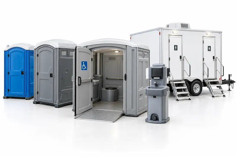
Standard toilets can address a confirmed private-toilet gap. Review accessible use and washing separately, and ask about the actual features and support of any desired upgrade. Describe users and occupied duration instead of assuming the map determines a quantity.
Have the provider assess ground, door clearance, handling and ongoing service reach at the proposed position. The guest approach and the provider route may be different.
Keep the accepted route available
Record the approved position and receiving contact so subsequent instructions do not drift to another mapped area. Coordinate any change with the operator and provider.
The quotation should cover cleaning, tank service, paper, washing supplies and used-water tasks, plus delivery, duration and collection. A mapped restroom or road does not establish equipment availability or permission to install it.
Questions before you book
Does a road on the park map prove delivery access?
No. Ask the operator about permission and the provider about actual handling and service conditions.
Can I rely on every mapped restroom being open?
Confirm current access for the actual location, users and period. The map is a planning reference.